#1 Abingdon Road
Introduction
The photograph on this page of #1 Abingdon Road by Roger Templeman as part of the Geograph project.
The Geograph project started in 2005 with the aim of publishing, organising and preserving representative images for every square kilometre of Great Britain, Ireland and the Isle of Man.

There are currently over 7.5m images from over 14,400 individuals and you can help contribute to the project by visiting https://www.geograph.org.uk
#1 Abingdon Road
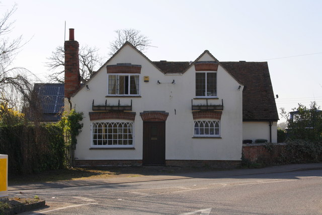
Image: © Roger Templeman Taken: 27 Mar 2012
Formerly the Plough Inn which had an Ordnance Survey cut mark benchmark http://www.bench-marks.org.uk/bm19839 on the front right hand corner which has been concealed by the thick render applied to the front face.
Images are licensed for reuse under creativecommons.org/licenses/by-sa/2.0
Image Location
Latitude
51.648327
Longitude
-1.168024