Norwood Lodge
Introduction
The photograph on this page of Norwood Lodge by Nikki Mahadevan as part of the Geograph project.
The Geograph project started in 2005 with the aim of publishing, organising and preserving representative images for every square kilometre of Great Britain, Ireland and the Isle of Man.

There are currently over 7.5m images from over 14,400 individuals and you can help contribute to the project by visiting https://www.geograph.org.uk
Norwood Lodge
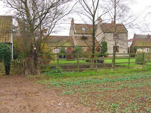
Image: © Nikki Mahadevan Taken: 30 Nov 2006
Norwood Lodge as viewed from the footpath at the rear of the house. The footpath runs alongside the house, to enter the rather muddy field through the gap in the dry stone wall. The hamlet of Norwood is right on the edge of the Hardwick Estate.
Images are licensed for reuse under creativecommons.org/licenses/by-sa/2.0
Image Location
Latitude
53.163793
Longitude
-1.287999