The Atlas Pub & Restaurant
Introduction
The photograph on this page of The Atlas Pub & Restaurant by Peter Holmes as part of the Geograph project.
The Geograph project started in 2005 with the aim of publishing, organising and preserving representative images for every square kilometre of Great Britain, Ireland and the Isle of Man.

There are currently over 7.5m images from over 14,400 individuals and you can help contribute to the project by visiting https://www.geograph.org.uk
The Atlas Pub & Restaurant
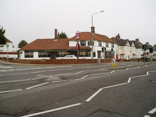
Image: © Peter Holmes Taken: 17 Mar 2012
In Old Shoreham Road at junction with Holmes Avenue, now with black framed windows and white walls - see previous photo Image
Images are licensed for reuse under creativecommons.org/licenses/by-sa/2.0
Image Location
Latitude
50.838818
Longitude
-0.187761