Sandy Lane
Introduction
The photograph on this page of Sandy Lane by Des Blenkinsopp as part of the Geograph project.
The Geograph project started in 2005 with the aim of publishing, organising and preserving representative images for every square kilometre of Great Britain, Ireland and the Isle of Man.

There are currently over 7.5m images from over 14,400 individuals and you can help contribute to the project by visiting https://www.geograph.org.uk
Sandy Lane
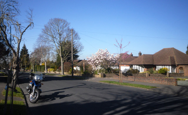
Image: © Des Blenkinsopp Taken: 26 Mar 2012
Between Nonsuch Park and Banstead Downs the London Loop Path has to go roadside for about 2km as there are no linking footpaths. But the streets are quiet residential ones like Sandy Lane here, and on a day like this with all the spring stuff coming out it's pleasant enough.
Images are licensed for reuse under creativecommons.org/licenses/by-sa/2.0
Image Location
Latitude
51.340197
Longitude
-0.212278