Lawn behind Quaker Meeting House
Introduction
The photograph on this page of Lawn behind Quaker Meeting House by Kokai as part of the Geograph project.
The Geograph project started in 2005 with the aim of publishing, organising and preserving representative images for every square kilometre of Great Britain, Ireland and the Isle of Man.

There are currently over 7.5m images from over 14,400 individuals and you can help contribute to the project by visiting https://www.geograph.org.uk
Lawn behind Quaker Meeting House
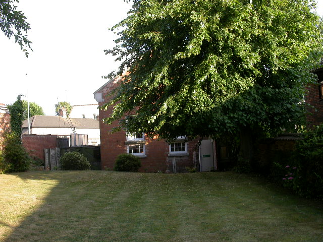
Image: © Kokai Taken: 18 Jul 2005
Grid line 79 appears to brush the back left corner of the building.
Images are licensed for reuse under creativecommons.org/licenses/by-sa/2.0
Image Location


Leaflet Map data © OpenStreetMap
Latitude
52.402201
Longitude
-0.731476