Romsey - King John's House
Introduction
The photograph on this page of Romsey - King John's House by Chris Talbot as part of the Geograph project.
The Geograph project started in 2005 with the aim of publishing, organising and preserving representative images for every square kilometre of Great Britain, Ireland and the Isle of Man.

There are currently over 7.5m images from over 14,400 individuals and you can help contribute to the project by visiting https://www.geograph.org.uk
Romsey - King John's House
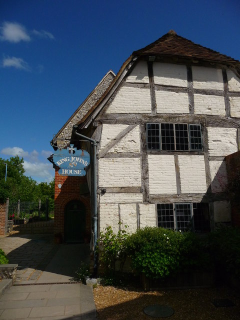
Image: © Chris Talbot Taken: 8 May 2011
Dating from the 13th century, King John's House was once the main building in a major medieval complex. Many early features survive, including the roof timbers, graffiti cut into the medieval plaster and a rare bone floor.
Images are licensed for reuse under creativecommons.org/licenses/by-sa/2.0
Image Location
Latitude
50.989758
Longitude
-1.499571