Paths in Milton Regis Community Woodland
Introduction
The photograph on this page of Paths in Milton Regis Community Woodland by David Anstiss as part of the Geograph project.
The Geograph project started in 2005 with the aim of publishing, organising and preserving representative images for every square kilometre of Great Britain, Ireland and the Isle of Man.

There are currently over 7.5m images from over 14,400 individuals and you can help contribute to the project by visiting https://www.geograph.org.uk
Paths in Milton Regis Community Woodland
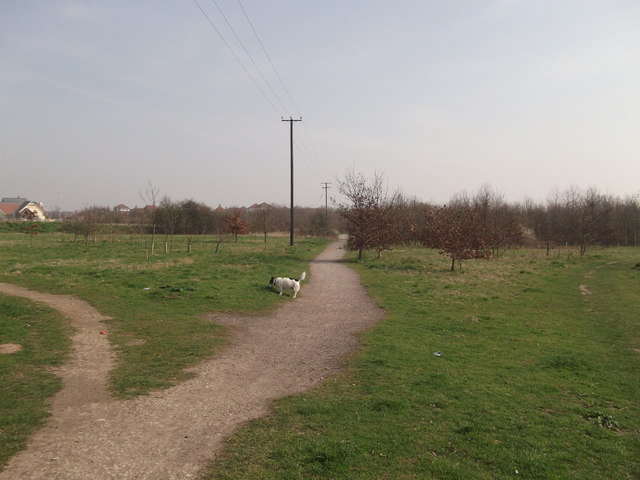
Image: © David Anstiss Taken: 22 Mar 2012
This woodland is between the B2006 and the junction of 2 railway lines (the Sheerness spur-line and the main London line). It serves the nearby new housing estate in Milton Regis. A public footpath leads through the woodland to Bobbing.
Images are licensed for reuse under creativecommons.org/licenses/by-sa/2.0
Image Location
Latitude
51.348945
Longitude
0.716946