Start of a bridleway
Introduction
The photograph on this page of Start of a bridleway by Ruth Riddle as part of the Geograph project.
The Geograph project started in 2005 with the aim of publishing, organising and preserving representative images for every square kilometre of Great Britain, Ireland and the Isle of Man.

There are currently over 7.5m images from over 14,400 individuals and you can help contribute to the project by visiting https://www.geograph.org.uk
Start of a bridleway
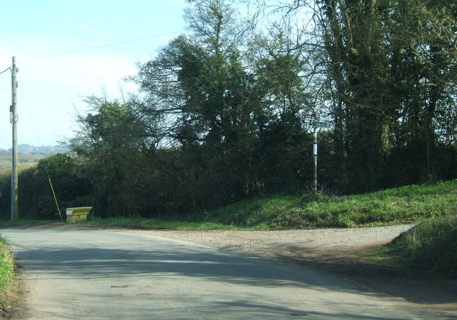
Image: © Ruth Riddle Taken: 25 Mar 2012
At this bend in Stock Hill, a bridleway track called Bond Lane begins which heads south, and then east, towards Sweet Waters.
Images are licensed for reuse under creativecommons.org/licenses/by-sa/2.0
Image Location
Latitude
51.610829
Longitude
-2.558829