Atlantic Highway (A39) at West Park Farm
Introduction
The photograph on this page of Atlantic Highway (A39) at West Park Farm by David Smith as part of the Geograph project.
The Geograph project started in 2005 with the aim of publishing, organising and preserving representative images for every square kilometre of Great Britain, Ireland and the Isle of Man.

There are currently over 7.5m images from over 14,400 individuals and you can help contribute to the project by visiting https://www.geograph.org.uk
Atlantic Highway (A39) at West Park Farm
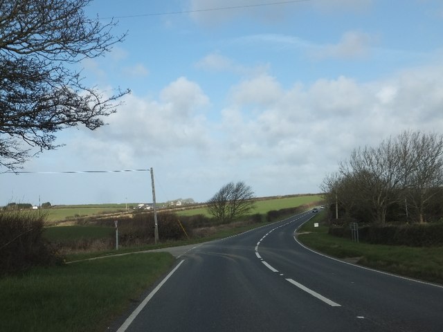
Image: © David Smith Taken: 8 Mar 2012
The Saints Way crosses the A39 at this point. From the left it follows a minor road from Trenance; to the right it follows tracks to St Breock Downs.
Images are licensed for reuse under creativecommons.org/licenses/by-sa/2.0
Image Location


Leaflet Map data © OpenStreetMap
Latitude
50.496633
Longitude
-4.895363