Sharp bend on Stifford Clays Road
Introduction
The photograph on this page of Sharp bend on Stifford Clays Road by Robin Webster as part of the Geograph project.
The Geograph project started in 2005 with the aim of publishing, organising and preserving representative images for every square kilometre of Great Britain, Ireland and the Isle of Man.

There are currently over 7.5m images from over 14,400 individuals and you can help contribute to the project by visiting https://www.geograph.org.uk
Sharp bend on Stifford Clays Road
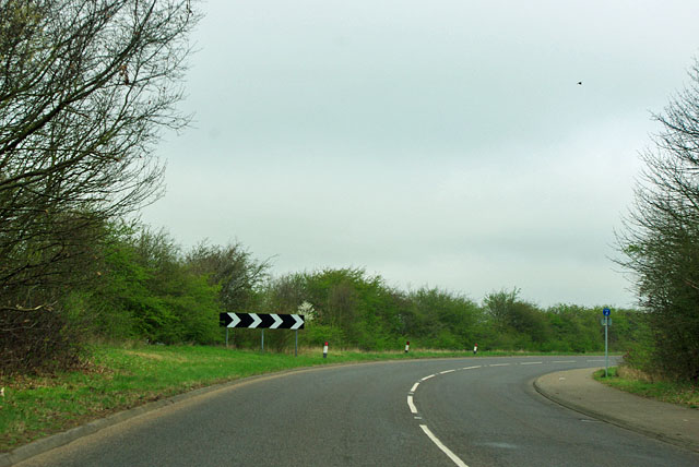
Image: © Robin Webster Taken: 25 Mar 2012
The original alignment of the road would have required a long skew bridge on the new A13 route, so it was diverted to pass under the new road by an economical nearly right-angled bridge. It also cut out two even sharper bends on Stifford Clays Road nearby.
Images are licensed for reuse under creativecommons.org/licenses/by-sa/2.0
Image Location


Leaflet Map data © OpenStreetMap
Latitude
51.505936
Longitude
0.330259