A392 west of White Cross
Introduction
The photograph on this page of A392 west of White Cross by David Smith as part of the Geograph project.
The Geograph project started in 2005 with the aim of publishing, organising and preserving representative images for every square kilometre of Great Britain, Ireland and the Isle of Man.

There are currently over 7.5m images from over 14,400 individuals and you can help contribute to the project by visiting https://www.geograph.org.uk
A392 west of White Cross
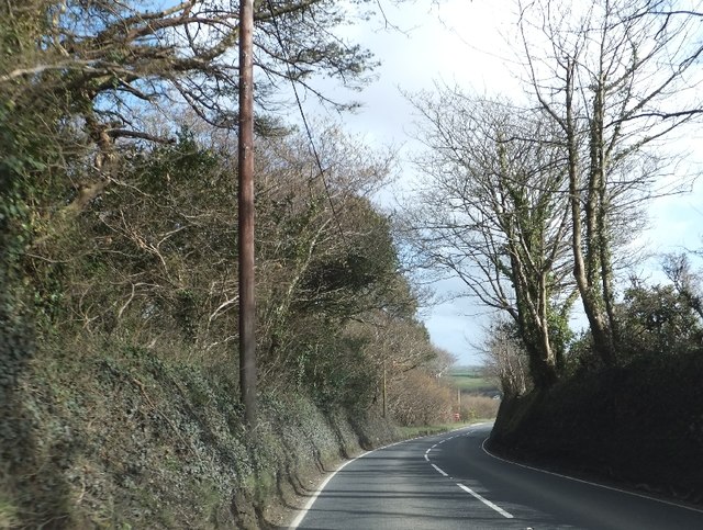
Image: © David Smith Taken: 8 Mar 2012
The triangular woodland on the right fills a fork between this A road and a farm track. The OS map shows former quarries in the woodland
Images are licensed for reuse under creativecommons.org/licenses/by-sa/2.0
Image Location
Latitude
50.402668
Longitude
-4.979424