The old A128, Brentwood Road
Introduction
The photograph on this page of The old A128, Brentwood Road by Robin Webster as part of the Geograph project.
The Geograph project started in 2005 with the aim of publishing, organising and preserving representative images for every square kilometre of Great Britain, Ireland and the Isle of Man.

There are currently over 7.5m images from over 14,400 individuals and you can help contribute to the project by visiting https://www.geograph.org.uk
The old A128, Brentwood Road
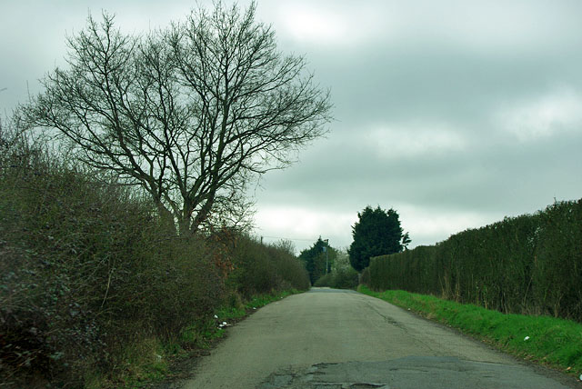
Image: © Robin Webster Taken: 25 Mar 2012
North of Bulphan the road to Brentwood used to take a rather dog-leg course through the very ancient roughly rectilinear grid of fields and lanes covering much of south Essex. Within my living memory (probably 50s) it was straightened, leaving loops of road such as this to serve existing premises.
Images are licensed for reuse under creativecommons.org/licenses/by-sa/2.0
Image Location
Latitude
51.554928
Longitude
0.362769