Nottingham - NG1
Introduction
The photograph on this page of Nottingham - NG1 by David Hallam-Jones as part of the Geograph project.
The Geograph project started in 2005 with the aim of publishing, organising and preserving representative images for every square kilometre of Great Britain, Ireland and the Isle of Man.

There are currently over 7.5m images from over 14,400 individuals and you can help contribute to the project by visiting https://www.geograph.org.uk
Nottingham - NG1
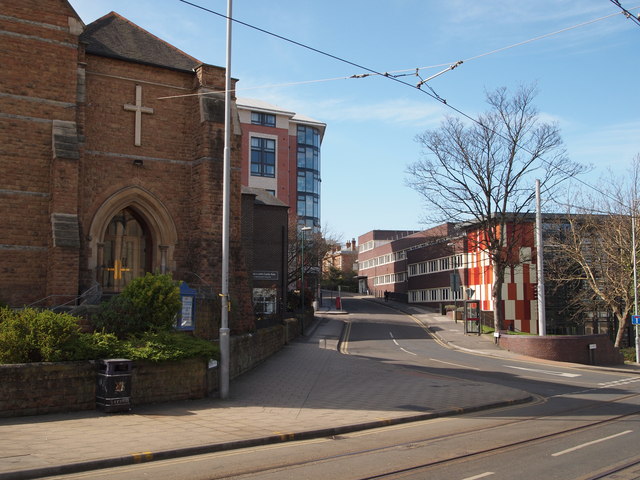
Image: © David Hallam-Jones Taken: 25 Mar 2012
Chaucer Street as it branches off of Goldsmith Street. The building on the right-hand side with the checked-patterned end elevation is a Nottingham Trent University building. From 1870 onwards the church building on the left housed a Presbyterian congregation. In 1975 however, two church congregations merged to form St Andrew’s-with-Castle-Gate United Reformed Church here on this site.
Images are licensed for reuse under creativecommons.org/licenses/by-sa/2.0
Image Location
Latitude
52.956879
Longitude
-1.153706