Dunwood Manor Golf Course 12th hole
Introduction
The photograph on this page of Dunwood Manor Golf Course 12th hole by Stuart Logan as part of the Geograph project.
The Geograph project started in 2005 with the aim of publishing, organising and preserving representative images for every square kilometre of Great Britain, Ireland and the Isle of Man.

There are currently over 7.5m images from over 14,400 individuals and you can help contribute to the project by visiting https://www.geograph.org.uk
Dunwood Manor Golf Course 12th hole
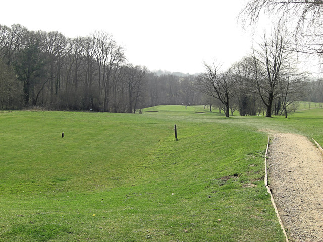
Image: © Stuart Logan Taken: 22 Mar 2012
Making use of the natural terrain is one of the main tasks of a golf course designer. Here a par 3 210 yards hole is rendered the 5th most difficult on the course by a 100 foot drop between tee and green.
Images are licensed for reuse under creativecommons.org/licenses/by-sa/2.0
Image Location
Latitude
51.0031
Longitude
-1.552159