Leyes Lane resurfacing
Introduction
The photograph on this page of Leyes Lane resurfacing by Nigel Mykura as part of the Geograph project.
The Geograph project started in 2005 with the aim of publishing, organising and preserving representative images for every square kilometre of Great Britain, Ireland and the Isle of Man.

There are currently over 7.5m images from over 14,400 individuals and you can help contribute to the project by visiting https://www.geograph.org.uk
Leyes Lane resurfacing
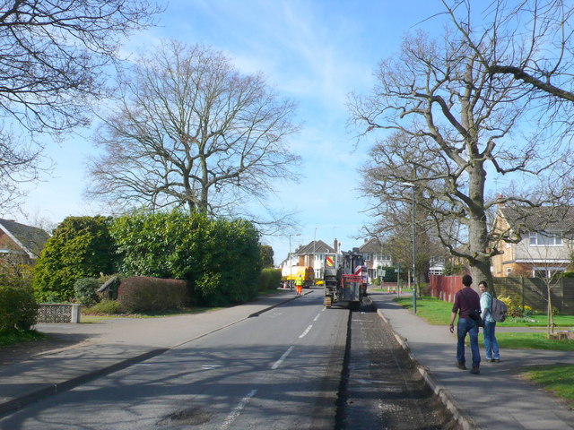
Image: © Nigel Mykura Taken: 25 Mar 2012
View up Leyes Lane towards the junction with Windy Arbour from close to the junction with Keeling Road. The right hand part of the carriageway had been stripped off as part of the work to repair damaged areas such as the pot hole visible in the left foreground.
Images are licensed for reuse under creativecommons.org/licenses/by-sa/2.0
Image Location
Latitude
52.346529
Longitude
-1.564114