The Head and Mouth of Milton Creek
Introduction
The photograph on this page of The Head and Mouth of Milton Creek by David Anstiss as part of the Geograph project.
The Geograph project started in 2005 with the aim of publishing, organising and preserving representative images for every square kilometre of Great Britain, Ireland and the Isle of Man.

There are currently over 7.5m images from over 14,400 individuals and you can help contribute to the project by visiting https://www.geograph.org.uk
The Head and Mouth of Milton Creek
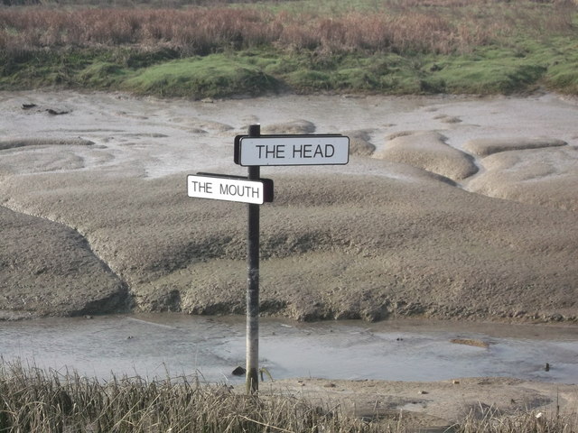
Image: © David Anstiss Taken: 22 Mar 2012
This sign within the creek points right to the Head of the creek, within Sittingbourne. It also points left to the Mouth of the creek, where it joins the Swale, near Kemsley. Seen from the Saxon Shore Way (long distance path) in Milton Creek Country Park.
Images are licensed for reuse under creativecommons.org/licenses/by-sa/2.0
Image Location
Latitude
51.34699
Longitude
0.73909