End of permissive bridleway, Elms Road
Introduction
The photograph on this page of End of permissive bridleway, Elms Road by Robin Webster as part of the Geograph project.
The Geograph project started in 2005 with the aim of publishing, organising and preserving representative images for every square kilometre of Great Britain, Ireland and the Isle of Man.

There are currently over 7.5m images from over 14,400 individuals and you can help contribute to the project by visiting https://www.geograph.org.uk
End of permissive bridleway, Elms Road
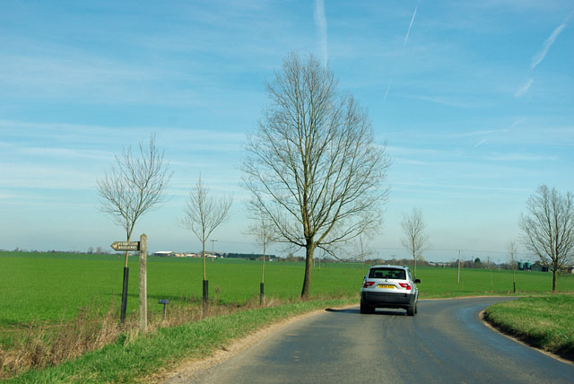
Image: © Robin Webster Taken: 25 Mar 2012
A public footpath follows a closely parallel route, but oddly no sign for it was noticed.
Images are licensed for reuse under creativecommons.org/licenses/by-sa/2.0
Image Location


Leaflet Map data © OpenStreetMap
Latitude
51.752891
Longitude
0.370336