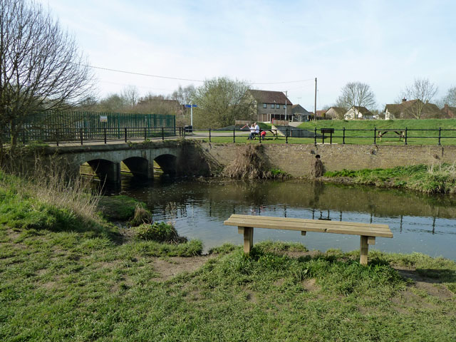
Site of Beach's Mill
Introduction
The photograph on this page of Site of Beach's Mill by Robin Webster as part of the Geograph project.
The Geograph project started in 2005 with the aim of publishing, organising and preserving representative images for every square kilometre of Great Britain, Ireland and the Isle of Man.
There are currently over 7.5m images from over 14,400 individuals and you can help contribute to the project by visiting https://www.geograph.org.uk

Image: © Robin Webster Taken: 25 Mar 2012
The bridge is over the former mill race on the River Can. It latterly processed leather. In 1901 the owners turned to brickmaking, with a works on the far bank and clay pits downstream on the near bank, connected by a narrow gauge railway which ran over the bridge. Over twenty years ago the track was visible on the bridge, set in concrete. Today the surface is tarmac - perhaps the rails are still there underneath. The rest of the mill substructure upstream of the footbridge is used for modern sluices.
Image Location


