Nearing Chelmsford on the Roman route
Introduction
The photograph on this page of Nearing Chelmsford on the Roman route by Robin Webster as part of the Geograph project.
The Geograph project started in 2005 with the aim of publishing, organising and preserving representative images for every square kilometre of Great Britain, Ireland and the Isle of Man.

There are currently over 7.5m images from over 14,400 individuals and you can help contribute to the project by visiting https://www.geograph.org.uk
Nearing Chelmsford on the Roman route
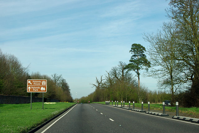
Image: © Robin Webster Taken: 25 Mar 2012
The A414, formerly the A12 here, follows the London - Colchester road past Hylands Park, a large area of public parkland surrounding Hylands House.
Images are licensed for reuse under creativecommons.org/licenses/by-sa/2.0
Image Location
Latitude
51.705802
Longitude
0.438942