Edge of Slough Trading Estate
Introduction
The photograph on this page of Edge of Slough Trading Estate by Derek Harper as part of the Geograph project.
The Geograph project started in 2005 with the aim of publishing, organising and preserving representative images for every square kilometre of Great Britain, Ireland and the Isle of Man.

There are currently over 7.5m images from over 14,400 individuals and you can help contribute to the project by visiting https://www.geograph.org.uk
Edge of Slough Trading Estate
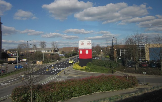
Image: © Derek Harper Taken: 19 Mar 2012
The bright red and white sign is shown in Image; the housing there is just off to the left here. The main road is Buckingham Avenue; the nearest side road, Burnham Lane, has just emerged from beneath the main Paddington railway line, from which this was taken. The premises on the right are occupied by a water treatment firm.
Images are licensed for reuse under creativecommons.org/licenses/by-sa/2.0
Image Location
Latitude
51.523012
Longitude
-0.64117