Wolfeton House Farm
Introduction
The photograph on this page of Wolfeton House Farm by Nigel Mykura as part of the Geograph project.
The Geograph project started in 2005 with the aim of publishing, organising and preserving representative images for every square kilometre of Great Britain, Ireland and the Isle of Man.

There are currently over 7.5m images from over 14,400 individuals and you can help contribute to the project by visiting https://www.geograph.org.uk
Wolfeton House Farm
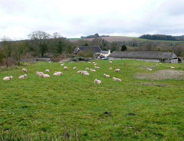
Image: © Nigel Mykura Taken: 17 Mar 2012
The barns and other buildings visible are at Wolfeton House as seen from the Lower Burton to Charminster footpath. The dark woods in the distance on the right is Longwalls Coppice on the other side of the Frome Valley
Images are licensed for reuse under creativecommons.org/licenses/by-sa/2.0
Image Location
Latitude
50.729243
Longitude
-2.456457