The driveway to Slate Delfs Farm and Round Hill
Introduction
The photograph on this page of The driveway to Slate Delfs Farm and Round Hill by Humphrey Bolton as part of the Geograph project.
The Geograph project started in 2005 with the aim of publishing, organising and preserving representative images for every square kilometre of Great Britain, Ireland and the Isle of Man.

There are currently over 7.5m images from over 14,400 individuals and you can help contribute to the project by visiting https://www.geograph.org.uk
The driveway to Slate Delfs Farm and Round Hill
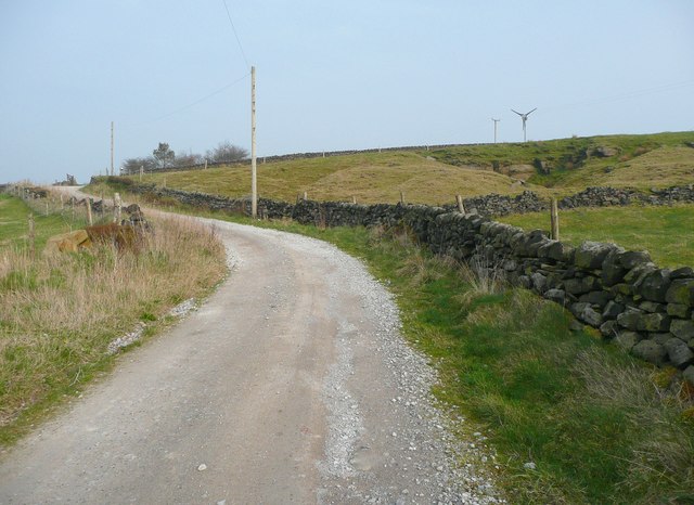
Image: © Humphrey Bolton Taken: 23 Mar 2012
This is Hebden Royd Bridleway 125. The disused quarry is Warcock Delf (sandstone).
Images are licensed for reuse under creativecommons.org/licenses/by-sa/2.0
Image Location
Latitude
53.693095
Longitude
-1.99239