Newcastle A1 by-pass
Introduction
The photograph on this page of Newcastle A1 by-pass by Andrew Curtis as part of the Geograph project.
The Geograph project started in 2005 with the aim of publishing, organising and preserving representative images for every square kilometre of Great Britain, Ireland and the Isle of Man.

There are currently over 7.5m images from over 14,400 individuals and you can help contribute to the project by visiting https://www.geograph.org.uk
Newcastle A1 by-pass
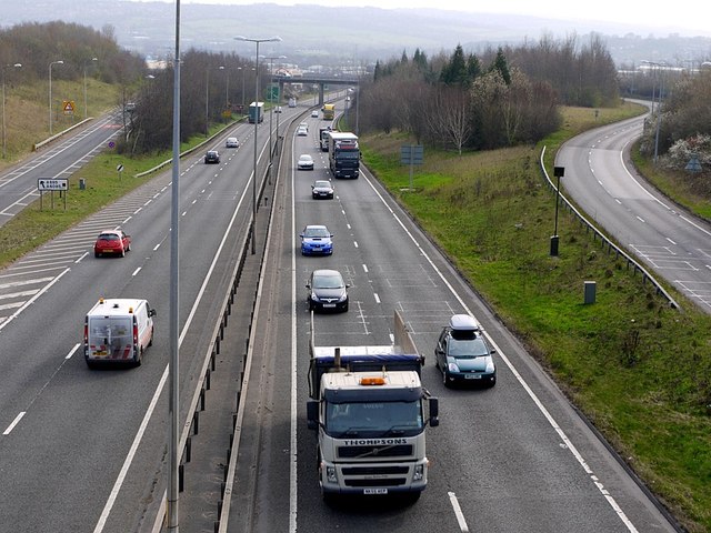
Image: © Andrew Curtis Taken: 23 Mar 2012
Taken from the footbridge that carries the Hadrian's Way cycle path over the main road west of Denton Dene. A view in the opposite direction is here Image The main carriageway crosses the River Tyne via Blaydon Bridge (opened 1990). The slip roads on either side provide links to and from the roundabout below B&Q on Scotswood Road.
Images are licensed for reuse under creativecommons.org/licenses/by-sa/2.0
Image Location
Latitude
54.975816
Longitude
-1.69798