Afon Goch
Introduction
The photograph on this page of Afon Goch by John Haynes as part of the Geograph project.
The Geograph project started in 2005 with the aim of publishing, organising and preserving representative images for every square kilometre of Great Britain, Ireland and the Isle of Man.

There are currently over 7.5m images from over 14,400 individuals and you can help contribute to the project by visiting https://www.geograph.org.uk
Afon Goch
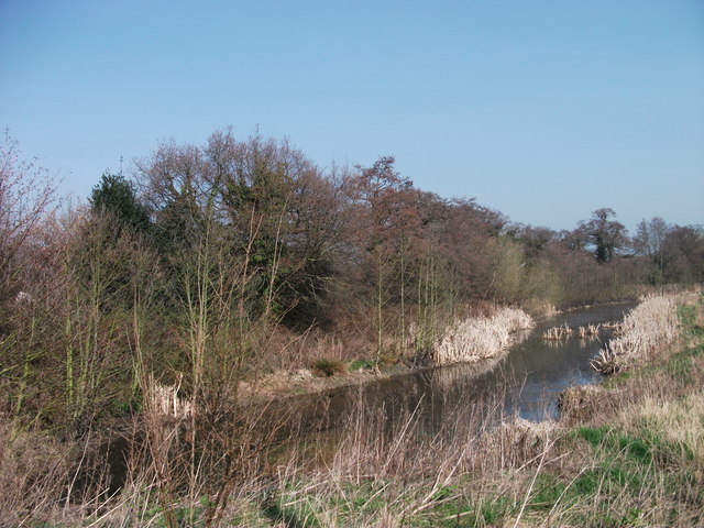
Image: © John Haynes Taken: 24 Mar 2012
This river was a drain for various colliery pumps in the area and was called Black Brook because of its colour. It has been widened and made to provide a storm drain receptor for the nearby new housing estate.
Images are licensed for reuse under creativecommons.org/licenses/by-sa/2.0
Image Location
Latitude
52.996313
Longitude
-3.031589