The Burn at Pinmerry
Introduction
The photograph on this page of The Burn at Pinmerry by Mary and Angus Hogg as part of the Geograph project.
The Geograph project started in 2005 with the aim of publishing, organising and preserving representative images for every square kilometre of Great Britain, Ireland and the Isle of Man.

There are currently over 7.5m images from over 14,400 individuals and you can help contribute to the project by visiting https://www.geograph.org.uk
The Burn at Pinmerry
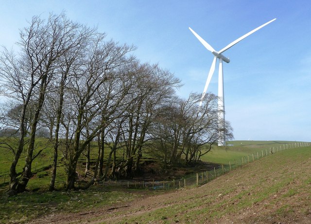
Image: © Mary and Angus Hogg Taken: 24 Mar 2012
This little burn flows into the Water of Assel in the next square. Everything in this area is dominated by Hadyard Hill's turbines.
Images are licensed for reuse under creativecommons.org/licenses/by-sa/2.0
Image Location
Latitude
55.217335
Longitude
-4.76769