River Axe
Introduction
The photograph on this page of River Axe by mike smith as part of the Geograph project.
The Geograph project started in 2005 with the aim of publishing, organising and preserving representative images for every square kilometre of Great Britain, Ireland and the Isle of Man.

There are currently over 7.5m images from over 14,400 individuals and you can help contribute to the project by visiting https://www.geograph.org.uk
River Axe
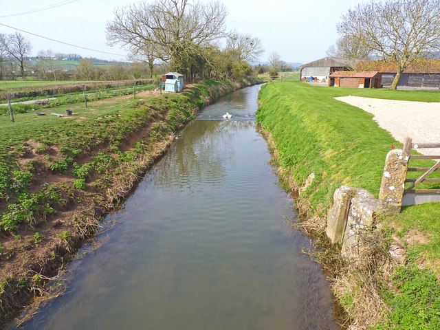
Image: © mike smith Taken: 23 Mar 2012
This man-made water way is part of the River Axe drainage system. The view is seen from Bartlett's Bridge.
Images are licensed for reuse under creativecommons.org/licenses/by-sa/2.0
Image Location


Leaflet Map data © OpenStreetMap
Latitude
51.240107
Longitude
-2.791689