Gates from Sandy Lane to Lilleybrook Golf Course
Introduction
The photograph on this page of Gates from Sandy Lane to Lilleybrook Golf Course by Terry Jacombs as part of the Geograph project.
The Geograph project started in 2005 with the aim of publishing, organising and preserving representative images for every square kilometre of Great Britain, Ireland and the Isle of Man.

There are currently over 7.5m images from over 14,400 individuals and you can help contribute to the project by visiting https://www.geograph.org.uk
Gates from Sandy Lane to Lilleybrook Golf Course
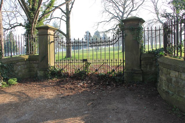
Image: © Terry Jacombs Taken: 23 Mar 2012
Originally part of country house grounds, it looks like the gate has not been used for several years.
Images are licensed for reuse under creativecommons.org/licenses/by-sa/2.0
Image Location


Leaflet Map data © OpenStreetMap
Latitude
51.873694
Longitude
-2.062412