Trig point near Goleigh Farm
Introduction
The photograph on this page of Trig point near Goleigh Farm by Hugh Chevallier as part of the Geograph project.
The Geograph project started in 2005 with the aim of publishing, organising and preserving representative images for every square kilometre of Great Britain, Ireland and the Isle of Man.

There are currently over 7.5m images from over 14,400 individuals and you can help contribute to the project by visiting https://www.geograph.org.uk
Trig point near Goleigh Farm
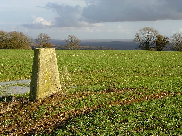
Image: © Hugh Chevallier Taken: 28 Nov 2006
Looking east from the flattish top (220m or 725ft).
Images are licensed for reuse under creativecommons.org/licenses/by-sa/2.0
Image Location
Latitude
51.071934
Longitude
-0.963729