Signpost at The Green, St Buryan
Introduction
The photograph on this page of Signpost at The Green, St Buryan by Humphrey Bolton as part of the Geograph project.
The Geograph project started in 2005 with the aim of publishing, organising and preserving representative images for every square kilometre of Great Britain, Ireland and the Isle of Man.

There are currently over 7.5m images from over 14,400 individuals and you can help contribute to the project by visiting https://www.geograph.org.uk
Signpost at The Green, St Buryan
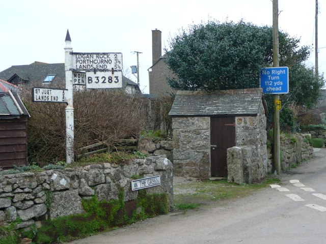
Image: © Humphrey Bolton Taken: 29 Feb 2012
Two roads to Land's End, each 5½ miles. Presumably the plate with the B-road number was added to indicate the best route.
Images are licensed for reuse under creativecommons.org/licenses/by-sa/2.0
Image Location
Latitude
50.075349
Longitude
-5.622932