Thatched cottage, Downton
Introduction
The photograph on this page of Thatched cottage, Downton by Maigheach-gheal as part of the Geograph project.
The Geograph project started in 2005 with the aim of publishing, organising and preserving representative images for every square kilometre of Great Britain, Ireland and the Isle of Man.

There are currently over 7.5m images from over 14,400 individuals and you can help contribute to the project by visiting https://www.geograph.org.uk
Thatched cottage, Downton
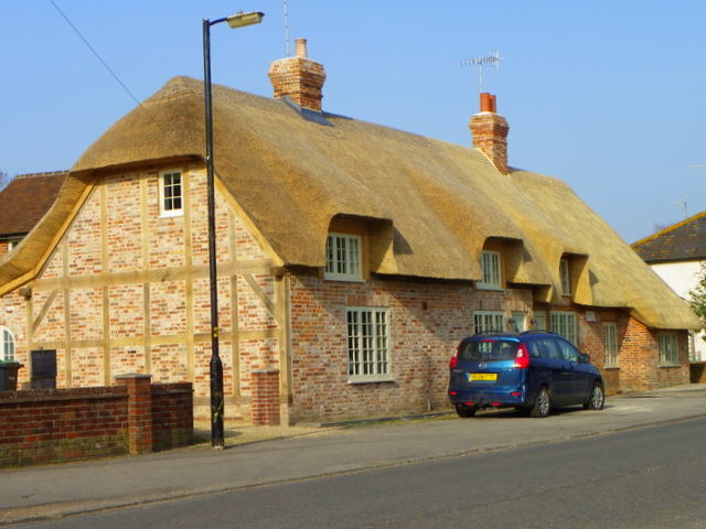
Image: © Maigheach-gheal Taken: 22 Mar 2012
This beautifully restored cottage has risen like the Phoenix from the ashes from the devastating fire in July 2010, see image Image
Images are licensed for reuse under creativecommons.org/licenses/by-sa/2.0
Image Location
Latitude
50.992993
Longitude
-1.751453