Looking down on the A55 from the pedestrian/cycle bridge
Introduction
The photograph on this page of Looking down on the A55 from the pedestrian/cycle bridge by Eirian Evans as part of the Geograph project.
The Geograph project started in 2005 with the aim of publishing, organising and preserving representative images for every square kilometre of Great Britain, Ireland and the Isle of Man.

There are currently over 7.5m images from over 14,400 individuals and you can help contribute to the project by visiting https://www.geograph.org.uk
Looking down on the A55 from the pedestrian/cycle bridge
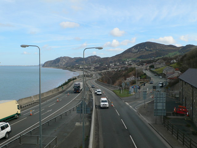
Image: © Eirian Evans Taken: 6 Mar 2012
Two new bridges have been built, one at either end of the Pen-y-Clip tunnel, to provide for cyclists and pedestrians at this busy area. The bridges connect to the old Telford Road, which is high above the newer A55.
Images are licensed for reuse under creativecommons.org/licenses/by-sa/2.0
Image Location


Leaflet Map data © OpenStreetMap
Latitude
53.266768
Longitude
-3.942404