Ill-Defined Footpath
Introduction
The photograph on this page of Ill-Defined Footpath by David Dixon as part of the Geograph project.
The Geograph project started in 2005 with the aim of publishing, organising and preserving representative images for every square kilometre of Great Britain, Ireland and the Isle of Man.

There are currently over 7.5m images from over 14,400 individuals and you can help contribute to the project by visiting https://www.geograph.org.uk
Ill-Defined Footpath
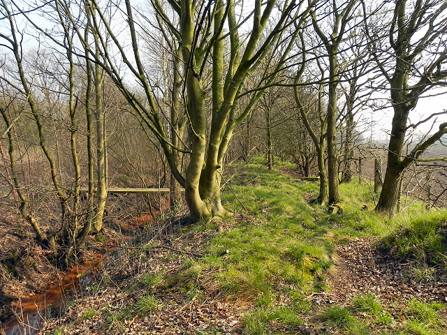
Image: © David Dixon Taken: 22 Mar 2012
The map and the "footpath" sign nearby indicate that there is a path here but its route is not very clear. The bridge ahead, over the ditch, may provide a clue.
Images are licensed for reuse under creativecommons.org/licenses/by-sa/2.0
Image Location
Latitude
53.409188
Longitude
-2.376939