Firs Wood
Introduction
The photograph on this page of Firs Wood by David Dixon as part of the Geograph project.
The Geograph project started in 2005 with the aim of publishing, organising and preserving representative images for every square kilometre of Great Britain, Ireland and the Isle of Man.

There are currently over 7.5m images from over 14,400 individuals and you can help contribute to the project by visiting https://www.geograph.org.uk
Firs Wood
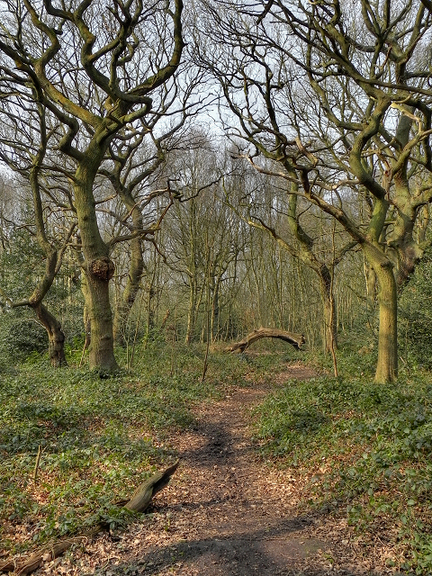
Image: © David Dixon Taken: 22 Mar 2012
Although named on the map as "Firs Plantation", a board at the entrance from Firtree Avenue, refers to the area as "Firs Wood.
Images are licensed for reuse under creativecommons.org/licenses/by-sa/2.0
Image Location
Latitude
53.421646
Longitude
-2.359444