Emmanuel Parish Church
Introduction
The photograph on this page of Emmanuel Parish Church by Neil Owen as part of the Geograph project.
The Geograph project started in 2005 with the aim of publishing, organising and preserving representative images for every square kilometre of Great Britain, Ireland and the Isle of Man.

There are currently over 7.5m images from over 14,400 individuals and you can help contribute to the project by visiting https://www.geograph.org.uk
Emmanuel Parish Church
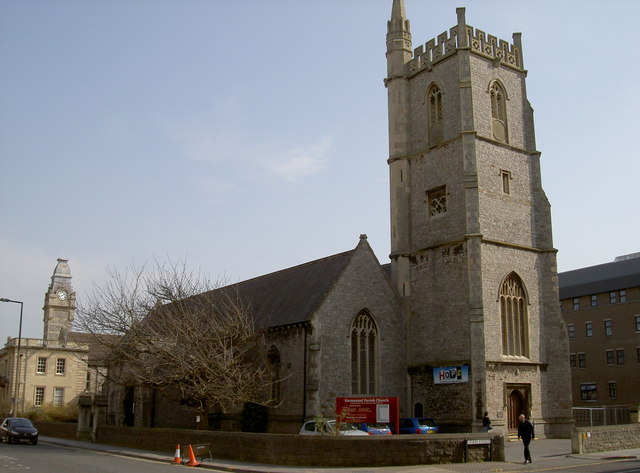
Image: © Neil Owen Taken: 22 Mar 2012
A wider view of the church, with the Town Hall in the background. An old benchmark can easily be found on the doorway of the tower end - see Image
Images are licensed for reuse under creativecommons.org/licenses/by-sa/2.0
Image Location
Latitude
51.345886
Longitude
-2.977726