The top of Billinge Hill
Introduction
The photograph on this page of The top of Billinge Hill by Bill Boaden as part of the Geograph project.
The Geograph project started in 2005 with the aim of publishing, organising and preserving representative images for every square kilometre of Great Britain, Ireland and the Isle of Man.

There are currently over 7.5m images from over 14,400 individuals and you can help contribute to the project by visiting https://www.geograph.org.uk
The top of Billinge Hill
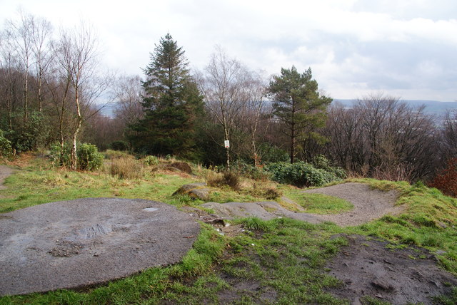
Image: © Bill Boaden Taken: 17 Mar 2012
The top of the hill is disappointing as far as views are concerned, as there are so many trees, which obscure even in winter. Blackburn is laid out below.
Images are licensed for reuse under creativecommons.org/licenses/by-sa/2.0
Image Location
Latitude
53.749312
Longitude
-2.519643