Sherberton Common
Introduction
The photograph on this page of Sherberton Common by Tony Atkin as part of the Geograph project.
The Geograph project started in 2005 with the aim of publishing, organising and preserving representative images for every square kilometre of Great Britain, Ireland and the Isle of Man.

There are currently over 7.5m images from over 14,400 individuals and you can help contribute to the project by visiting https://www.geograph.org.uk
Sherberton Common
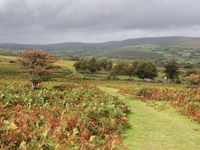
Image: © Tony Atkin Taken: 11 Sep 2011
Looking down towards Primm Cottage and Sherberton Common across a gently sloping landscape of bracken and grass.
Images are licensed for reuse under creativecommons.org/licenses/by-sa/2.0
Image Location
Latitude
50.546285
Longitude
-3.844228