The end of Dye House Lane
Introduction
The photograph on this page of The end of Dye House Lane by David Smith as part of the Geograph project.
The Geograph project started in 2005 with the aim of publishing, organising and preserving representative images for every square kilometre of Great Britain, Ireland and the Isle of Man.

There are currently over 7.5m images from over 14,400 individuals and you can help contribute to the project by visiting https://www.geograph.org.uk
The end of Dye House Lane
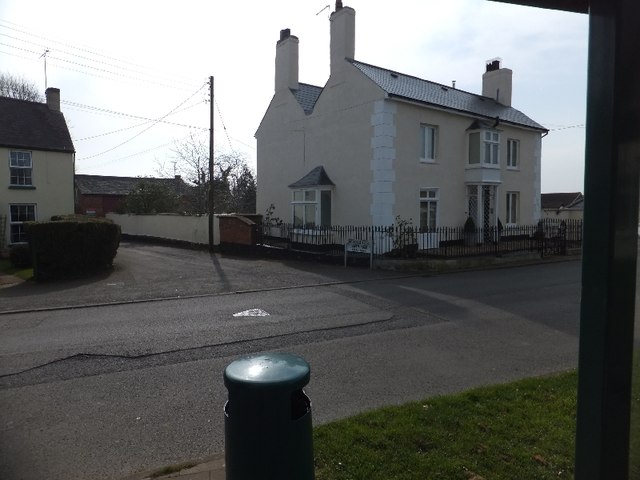
Image: © David Smith Taken: 22 Mar 2012
Nearby is the Dye House, apparently so called for its connection with the dying of serge cloth in the 17th and 18th centuries.
Images are licensed for reuse under creativecommons.org/licenses/by-sa/2.0
Image Location
Latitude
50.884753
Longitude
-3.371495