Stone Horse Trough
Introduction
The photograph on this page of Stone Horse Trough by michael ely as part of the Geograph project.
The Geograph project started in 2005 with the aim of publishing, organising and preserving representative images for every square kilometre of Great Britain, Ireland and the Isle of Man.

There are currently over 7.5m images from over 14,400 individuals and you can help contribute to the project by visiting https://www.geograph.org.uk
Stone Horse Trough
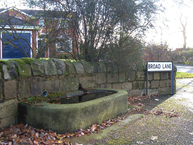
Image: © michael ely Taken: 28 Nov 2006
Situated at the corner of New Broad Lane and Broad Lane near Balderstone, Rochdale.
Images are licensed for reuse under creativecommons.org/licenses/by-sa/2.0
Image Location


Leaflet Map data © OpenStreetMap
Latitude
53.598191
Longitude
-2.137463