Stanley Farm, Stanley
Introduction
The photograph on this page of Stanley Farm, Stanley by Nikki Mahadevan as part of the Geograph project.
The Geograph project started in 2005 with the aim of publishing, organising and preserving representative images for every square kilometre of Great Britain, Ireland and the Isle of Man.

There are currently over 7.5m images from over 14,400 individuals and you can help contribute to the project by visiting https://www.geograph.org.uk
Stanley Farm, Stanley
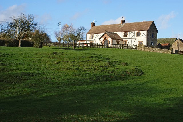
Image: © Nikki Mahadevan Taken: 28 Nov 2006
The grassed area in front of the farm, slopes down steeply to a brook which runs through the hamlet of Stanley.
Images are licensed for reuse under creativecommons.org/licenses/by-sa/2.0
Image Location
Latitude
53.155844
Longitude
-1.312058