Footpath leaving Cheadle
Introduction
The photograph on this page of Footpath leaving Cheadle by Graham Hogg as part of the Geograph project.
The Geograph project started in 2005 with the aim of publishing, organising and preserving representative images for every square kilometre of Great Britain, Ireland and the Isle of Man.

There are currently over 7.5m images from over 14,400 individuals and you can help contribute to the project by visiting https://www.geograph.org.uk
Footpath leaving Cheadle
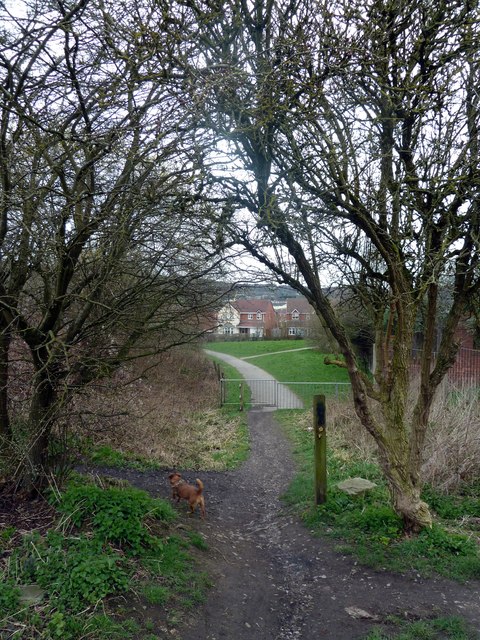
Image: © Graham Hogg Taken: 21 Mar 2012
The footpath here follows the alignment of the railway line into Cheadle which was abandoned in 1982.
Images are licensed for reuse under creativecommons.org/licenses/by-sa/2.0
Image Location
Latitude
52.980115
Longitude
-1.997725