Public Footpath at Clifton Reynes
Introduction
The photograph on this page of Public Footpath at Clifton Reynes by Nigel Stickells as part of the Geograph project.
The Geograph project started in 2005 with the aim of publishing, organising and preserving representative images for every square kilometre of Great Britain, Ireland and the Isle of Man.

There are currently over 7.5m images from over 14,400 individuals and you can help contribute to the project by visiting https://www.geograph.org.uk
Public Footpath at Clifton Reynes
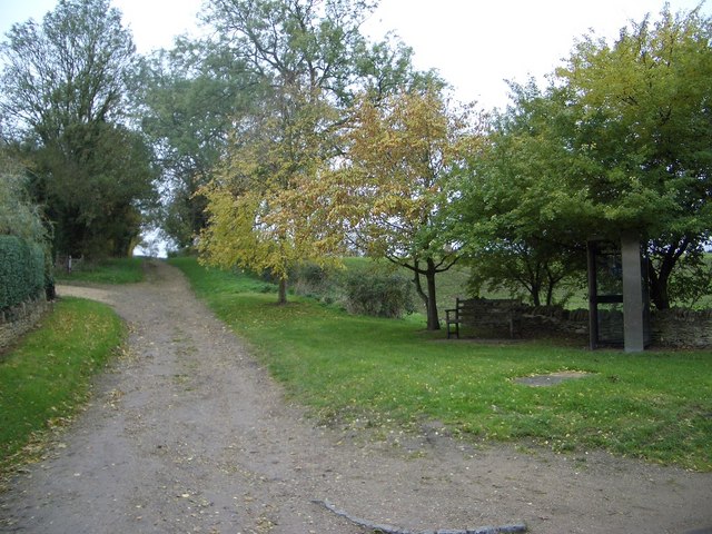
Image: © Nigel Stickells Taken: 14 Nov 2006
This public footpath leads from the centre of Clifton Reynes village across the meadows and a footbridge over the River Great Ouse to the market town of Olney. Notice the rural telephone box sheltering under the tree on the right.
Images are licensed for reuse under creativecommons.org/licenses/by-sa/2.0
Image Location
Latitude
52.152625
Longitude
-0.683037