House on the Bath Rd
Introduction
The photograph on this page of House on the Bath Rd by Nigel Mykura as part of the Geograph project.
The Geograph project started in 2005 with the aim of publishing, organising and preserving representative images for every square kilometre of Great Britain, Ireland and the Isle of Man.

There are currently over 7.5m images from over 14,400 individuals and you can help contribute to the project by visiting https://www.geograph.org.uk
House on the Bath Rd
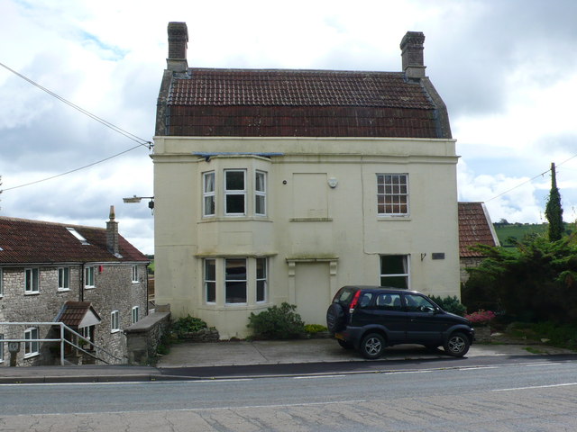
Image: © Nigel Mykura Taken: 18 Sep 2011
At the top of Poor Hill which is the steep walk way going down to the left of the building, this house with a mansard roof appears as if it may have been a pub at one time.
Images are licensed for reuse under creativecommons.org/licenses/by-sa/2.0
Image Location
Latitude
51.344986
Longitude
-2.490117