Nottingham - NG5
Introduction
The photograph on this page of Nottingham - NG5 by David Hallam-Jones as part of the Geograph project.
The Geograph project started in 2005 with the aim of publishing, organising and preserving representative images for every square kilometre of Great Britain, Ireland and the Isle of Man.

There are currently over 7.5m images from over 14,400 individuals and you can help contribute to the project by visiting https://www.geograph.org.uk
Nottingham - NG5
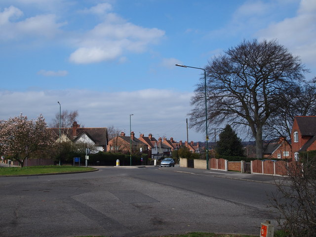
Image: © David Hallam-Jones Taken: 21 Mar 2012
A view of the roundabout at the Mansfield Road end of Edwards Lane. A stationary car sits on a lower section of Edwards Lane. This busy bus route carries passengers and other traffic to & from the City Hospital and Valley Rd area of NG5. Behind the magnolia tree is a section of Perry Road leading in the direction of HMP Nottingham and Hucknall Rd (A611).
Images are licensed for reuse under creativecommons.org/licenses/by-sa/2.0
Image Location
Latitude
52.98497
Longitude
-1.147348