Footbridge and path signs near Moulin
Introduction
The photograph on this page of Footbridge and path signs near Moulin by Jim Barton as part of the Geograph project.
The Geograph project started in 2005 with the aim of publishing, organising and preserving representative images for every square kilometre of Great Britain, Ireland and the Isle of Man.

There are currently over 7.5m images from over 14,400 individuals and you can help contribute to the project by visiting https://www.geograph.org.uk
Footbridge and path signs near Moulin
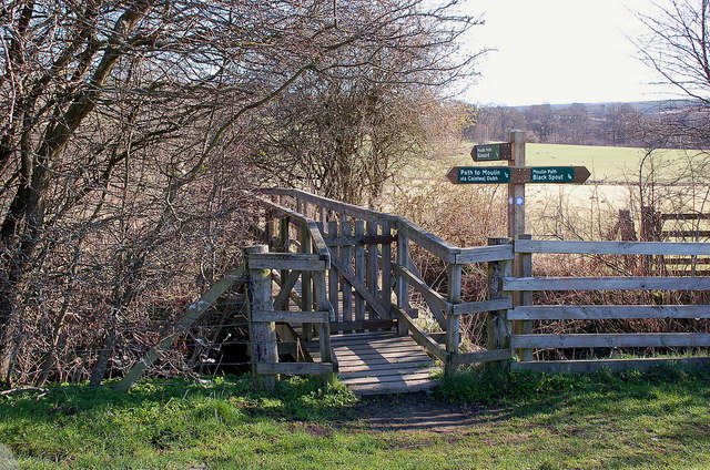
Image: © Jim Barton Taken: 18 Mar 2012
A path from Kinnaird joins the path between Caisteal Dubh and the Black Spout waterfall.
Images are licensed for reuse under creativecommons.org/licenses/by-sa/2.0
Image Location
Latitude
56.708022
Longitude
-3.719652