Caisteal Dubh, Moulin
Introduction
The photograph on this page of Caisteal Dubh, Moulin by Jim Barton as part of the Geograph project.
The Geograph project started in 2005 with the aim of publishing, organising and preserving representative images for every square kilometre of Great Britain, Ireland and the Isle of Man.

There are currently over 7.5m images from over 14,400 individuals and you can help contribute to the project by visiting https://www.geograph.org.uk
Caisteal Dubh, Moulin
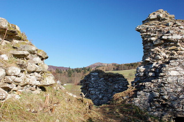
Image: © Jim Barton Taken: 18 Mar 2012
The remains of a 14th century castle which was originally fairly isolated, but is now not far from housing on the edge of Pitlochry.
Images are licensed for reuse under creativecommons.org/licenses/by-sa/2.0
Image Location
Latitude
56.709883
Longitude
-3.721534