Confluence of the Don and the Rother
Introduction
The photograph on this page of Confluence of the Don and the Rother by Martin Speck as part of the Geograph project.
The Geograph project started in 2005 with the aim of publishing, organising and preserving representative images for every square kilometre of Great Britain, Ireland and the Isle of Man.

There are currently over 7.5m images from over 14,400 individuals and you can help contribute to the project by visiting https://www.geograph.org.uk
Confluence of the Don and the Rother
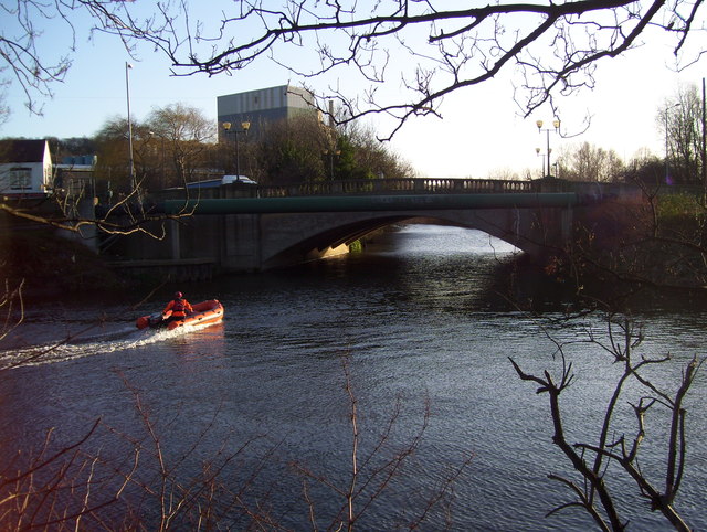
Image: © Martin Speck Taken: 2 Jan 2012
Confluence of the Don and the Rother. The flour mill seen in the background was demolished in the months after this photograph was taken.
Images are licensed for reuse under creativecommons.org/licenses/by-sa/2.0
Image Location
Latitude
53.42525
Longitude
-1.362195