Browna Paddocks, Low Abbotside, Wensleydale
Introduction
The photograph on this page of Browna Paddocks, Low Abbotside, Wensleydale by Geoff Keeble as part of the Geograph project.
The Geograph project started in 2005 with the aim of publishing, organising and preserving representative images for every square kilometre of Great Britain, Ireland and the Isle of Man.

There are currently over 7.5m images from over 14,400 individuals and you can help contribute to the project by visiting https://www.geograph.org.uk
Browna Paddocks, Low Abbotside, Wensleydale
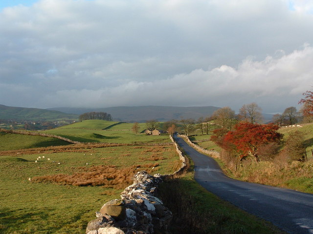
Image: © Geoff Keeble Taken: 27 Nov 2006
This view, seen from the minor road which is The Yorkshire Dales Cycle Way, is of the limestone plateau north of the River Ure. Browna Paddocks farm, a mixed dairy and sheep farm, is further west towards Hardraw. Hawes is visible 2 miles away to the south west.
Images are licensed for reuse under creativecommons.org/licenses/by-sa/2.0
Image Location


Leaflet Map data © OpenStreetMap
Latitude
54.310529
Longitude
-2.161195