Wildcroft Road
Introduction
The photograph on this page of Wildcroft Road by E Gammie as part of the Geograph project.
The Geograph project started in 2005 with the aim of publishing, organising and preserving representative images for every square kilometre of Great Britain, Ireland and the Isle of Man.

There are currently over 7.5m images from over 14,400 individuals and you can help contribute to the project by visiting https://www.geograph.org.uk
Wildcroft Road
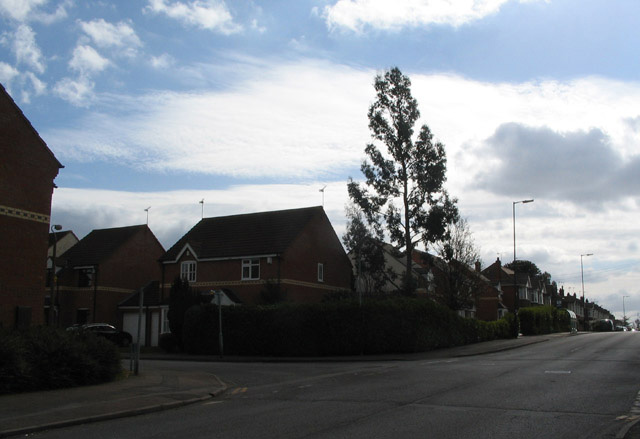
Image: © E Gammie Taken: 20 Mar 2012
Looking up Wildcroft Road at the junction with Lyndale Road. The houses on the corner were built on the site of the former Whoberley public house and its car park in the 1980s/90s. The eucalyptus tree on the corner is marginally younger than the houses. Further up Wildcroft Road are 1920s/30s bay fronted terraces.
Images are licensed for reuse under creativecommons.org/licenses/by-sa/2.0
Image Location
Latitude
52.408978
Longitude
-1.555266