Hucknall - Nottinghamshire
Introduction
The photograph on this page of Hucknall - Nottinghamshire by David Hallam-Jones as part of the Geograph project.
The Geograph project started in 2005 with the aim of publishing, organising and preserving representative images for every square kilometre of Great Britain, Ireland and the Isle of Man.

There are currently over 7.5m images from over 14,400 individuals and you can help contribute to the project by visiting https://www.geograph.org.uk
Hucknall - Nottinghamshire
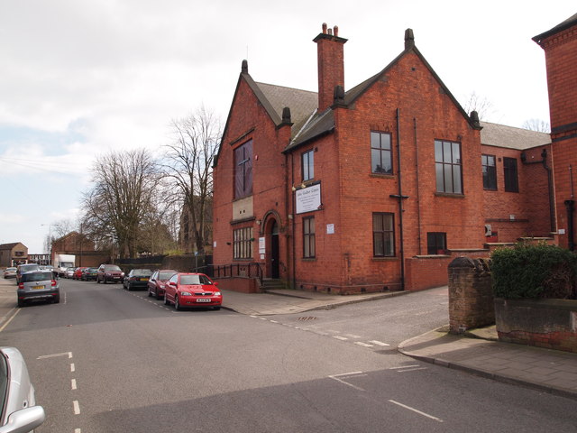
Image: © David Hallam-Jones Taken: 20 Mar 2012
The John Godber Centre, Hucknall, as seen from Ogle Street. The building is a converted church hall that boasts a large hall with a purpose built stage. It also provides premises for some local SureStart children's development programmes and some NHS infant health and welfare services.
Images are licensed for reuse under creativecommons.org/licenses/by-sa/2.0
Image Location
Latitude
53.039498
Longitude
-1.206826