Roadside barn, Kirkby Malzeard
Introduction
The photograph on this page of Roadside barn, Kirkby Malzeard by Gordon Hatton as part of the Geograph project.
The Geograph project started in 2005 with the aim of publishing, organising and preserving representative images for every square kilometre of Great Britain, Ireland and the Isle of Man.

There are currently over 7.5m images from over 14,400 individuals and you can help contribute to the project by visiting https://www.geograph.org.uk
Roadside barn, Kirkby Malzeard
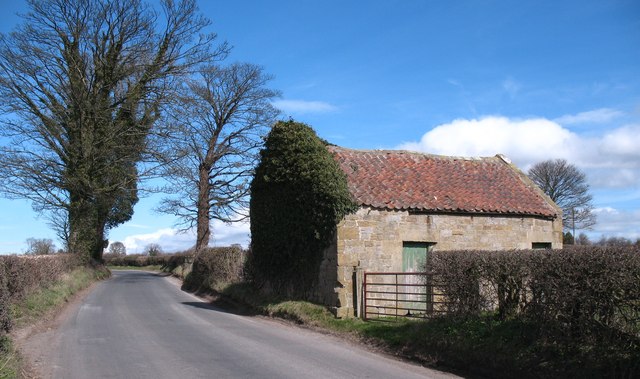
Image: © Gordon Hatton Taken: 20 Mar 2012
Roughly half way along the road from Kirkby Malzeard to Grewelthorpe, this barn shows both upland and lowland features. The walls are of upland sandstone, but the roof is tiled rather than stone slated, tiles being more common in the lowlands to the east.
Images are licensed for reuse under creativecommons.org/licenses/by-sa/2.0
Image Location
Latitude
54.17414
Longitude
-1.646091